TRAILS
Long Creek Trail
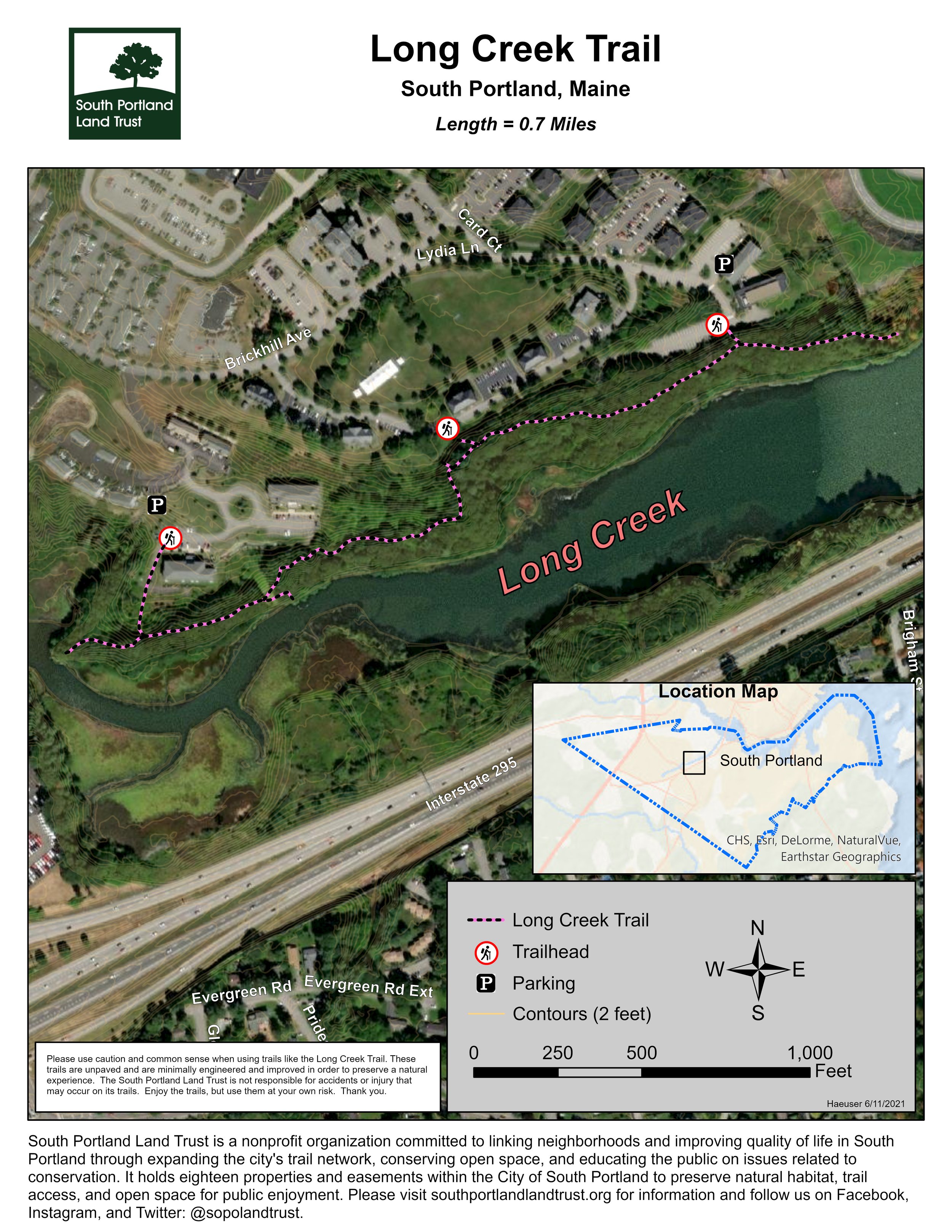
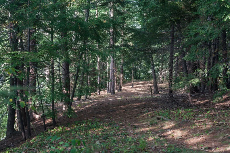
This scenic trail winds its way high above Long Creek for about 3/4 of a mile through enormous maples and oaks and currently ends at a point at the water's edge with lovely views of a nearby cove.
Managed by the South Portland Land Trust
Trail Heads
LONG CREEK TRAIL HAS Two PRIMARY ACCESS POINTs:
Opportunity Alliance Parking Lot: Turn onto Westbrook Street from the junction of Westbrook Street and Western Avenue in South Portland. Go about 1/2 mile until you see the entrance to Brick Hill on the right. Take this right, then bear left as you go up the hill. Take the road all the way to the end and park in the Opportunity Alliance lot, which is where you'll access the trail.
Heron Cove Condominiums: Turn onto Westbrook Street from the junction of Westbrook Street and Western Avenue in South Portland. Go about 1/2 mile until you see the entrance to Brick Hill on the right. Take this right, then bear left as you go up the hill. Take the first right at Heron Cove Condominiums and continue to Osprey Circle. Take the first right out of Osprey Circle and find the trail head at the end of the parking lot. Look for signs for trail parking.
About the Trail
The first section of the trail was built in the late fall of 2008. The Long Creek Trail was made possible through the generous support of the City of South Portland, the trail building efforts of the Maine Conservation Corps and the West End Trails Committee, a sub-committee of the South Portland Land Trust dedicated to making the west end of the city friendlier to pedestrians and cyclists.
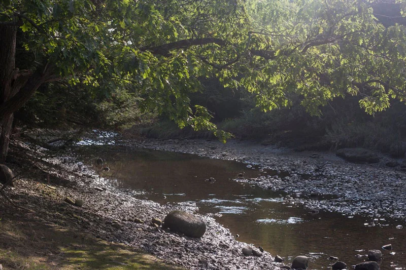
This scenic trail winds its way high above Long Creek for about 3/4 of a mile through enormous maples and oaks and currently ends at a point at the water's edge with lovely views of a nearby cove. The opposite shore, under the pine trees, is an important traditional Abanaki meeting site called The Smoking Tree. This spot was used in the 17th century as a place to negotiate important treaties between early English settlers and local Native Americans.
Optimal hiking can be had at high tide and when the foliage of the forest muffles traffic noise making it feel like you are in a refuge from the hustle and bustle.
The trail is unique in that its first couple hundred feet from the trailhead at Opportunity Alliance offers hikers impressive, even dizzying, views down to the creek and its tidal marshlands. Watch your step! It is for this reason that the trail is not recommended for winter use. The trail proceeds west gradually dropping in elevation from the high upper banks to the water's edge. Several points along the route provide great birding opportunities.
There is a current project to restore Long Creek, which you can learn about through the Long Creek Watershed Management District.
The SPLT plans to add connections to either end of the trail in the near future, so that hikers can access Westbrook Street on the west end and the Stroudwater trail network of trails to the northeast.
In the meantime, we urge hikers to park their vehicle at the Opportunity Alliance lot and to explore from there. From the parking area, go down the embankment about 10 feet to join the trail. The path follows high above Long Creek (great views through the trees in winter and spring). As the Creek narrows, the trail joins a well graded section, then leads nearly due west to culminate at a viewpoint. From here one can look across to the wooded bank where the treaty creating South Portland was signed.
To get back to your car, you can either backtrack on the trail or you can make your way upslope through an open field to junction with the road leading back to the parking area. We ask that you respect the privacy of those living in nearby residences.
Photo Gallery
Click on a photo to open it in a larger window.


